Aerial Inspection & Drone Survey
Enhanced Safety-Time Efficient-Cost Saving-Detailed Insights-Data Accuracy
How Our Aerial Surveys Work
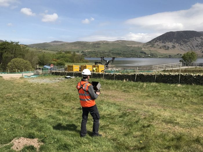
Each project begins with careful planning. We check airspace permissions, assess risk, and identify safe take-off and landing areas before the flight. Using drones such as the DJI Mavic 4 Pro and DJI Mini 5 Pro, we capture detailed stills and video data that can be reviewed instantly on site.
Once the imagery is collected, it’s processed using professional software to ensure accuracy, consistency, and clarity. You’ll receive your data in the format that suits your workflow — whether that’s high-resolution images, video clips, or geotagged files for integration into CAD or GIS systems.
Industries We Serve
Halo Vue provides drone survey and inspection services to a wide range of sectors, including:
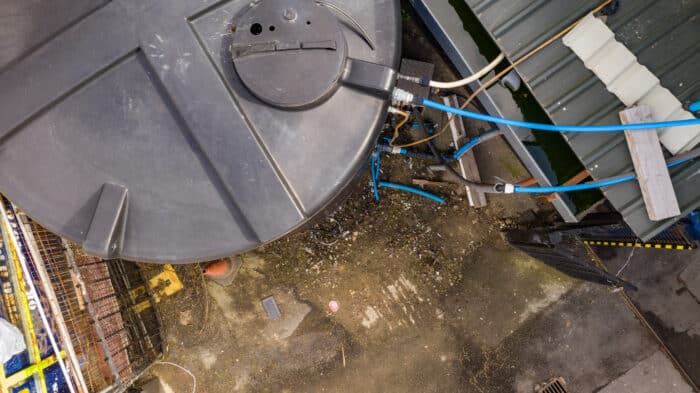
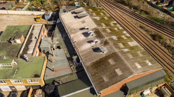
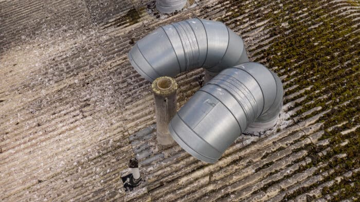
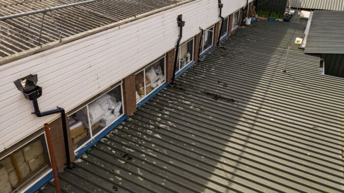
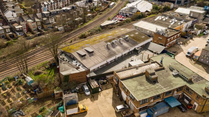
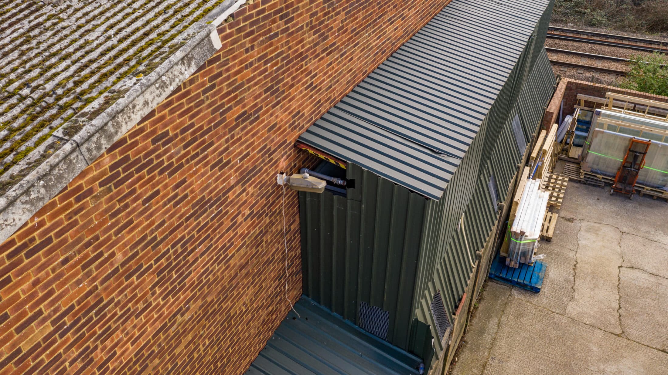
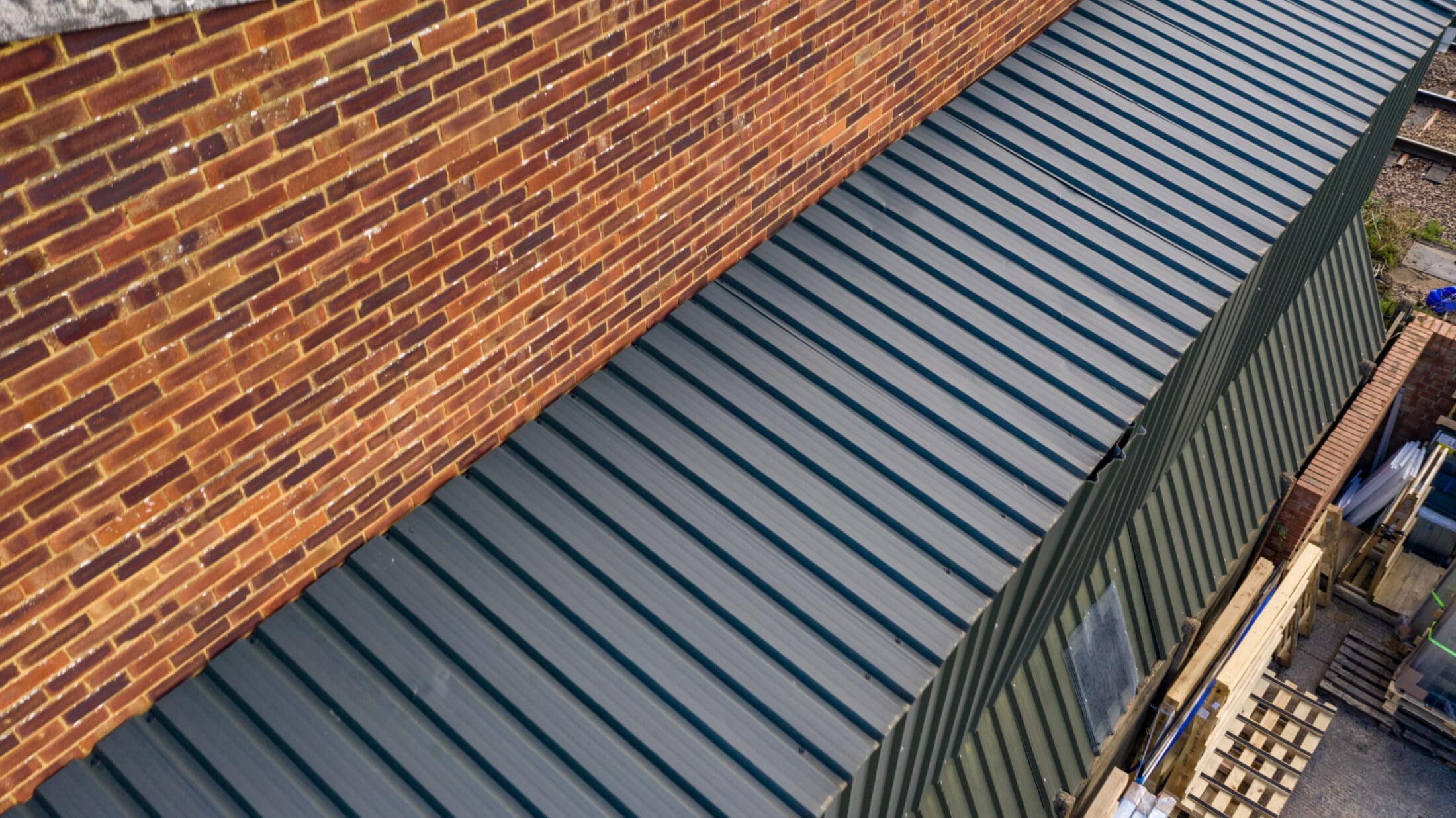
Construction and Engineering – site progress, structural monitoring, and volumetric analysis
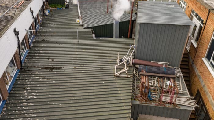
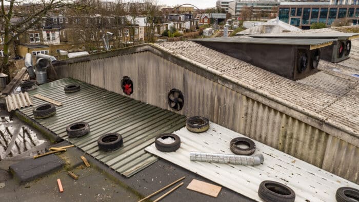
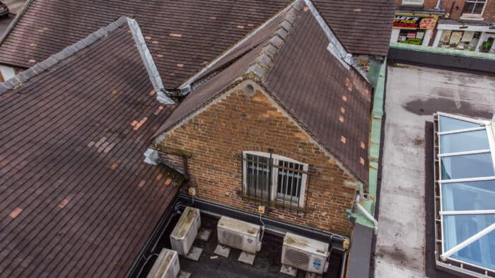
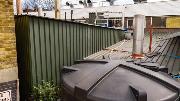
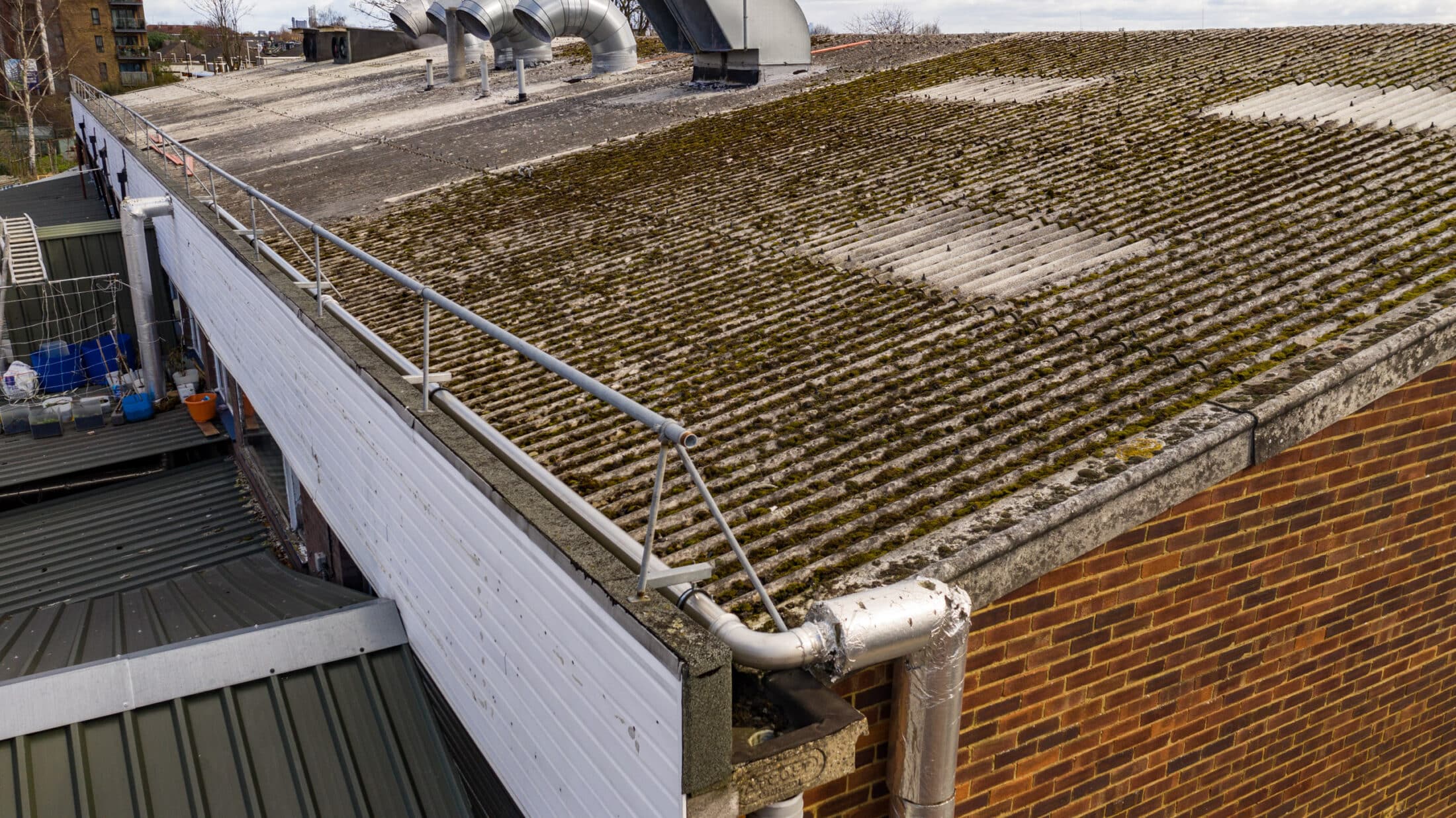
Real Estate and Property – roof inspections, land surveys, and promotional visuals
Utilities and Infrastructure – power lines, telecoms, and solar arrays
Environmental and Agricultural – habitat mapping and land assessment
Media and Production – creative aerial content with a technical edge
Why Work With Halo Vue
Led by Phil Fearnley, one of the UK’s most experienced CAA-approved drone pilots, Halo Vue combines aerial cinematography expertise with technical precision. Every project is fully insured and compliant under our CAA Operational Authorisation (PDRA-01), giving clients complete peace of mind.
Book a Drone Survey
Ready to get your aerial survey underway?
📧 info@halovue.co.uk | 📞 07957 627 628
Contact us today to discuss your site, project goals, or inspection requirements. We’ll help you plan your flight, manage permissions, and deliver the accurate data your team needs — quickly, safely, and professionally.
- High-Quality Drone Camera
- Utilizes high-quality drone camera sensors.
- Zoom facility magnifies up to 28 times.
- Detailed Drone Images
- Films areas of buildings from safe heights.
- Captures detailed drone images.
- Image Processing
- All images photographed as raw files.
- Unlimited images processed to JPEG format.
- Delivered to the client usually on the same day.
- Comprehensive Drone Films
- Customised films including clients logos and graphics.
- Supplies comprehensive drone films of required areas.
- Efficient Viewing
- Offers a faster way to view surveyed areas.
- Avoids the need to scroll through individual still images.
- Easy Sharing
- Easily shareable with other members of the client’s team
- Revolutionizing the Building Industry
- Drones have transformed operations in the building industry.
- Reduces time spent on ladders and scissor lifts for accessing heights.
- Enhanced Safety
- Decreases risks associated with accessing heights.
- Minimizes potential dangers and costs.
- Efficiency
- Large industrial roofs can be photographed and filmed in a few hours.
- Final image output can be completed on the same day.
- Preparation and Assessment
- Full RAMs and risk assessments are produced prior to being on site.
- Conducts pre-flight surveys using Google Earth or by attending the site in advance.
- Risk Mitigation
- Identifies potential issues such as proximity to roads, people, schools, airports, and prisons.
- Develops action plans to address identified risks.
- Aircraft Selection
- Chooses appropriate aircraft for the job.
- Options include the Mavic 4 Pro with impressive zoom capabilities and the DJI Mavic Mini 5 pro for flying in densely populated areas with fewer restrictions